In Depth of CIA’s Report on American-‘Israeli’ Geographic Perspective on South Lebanon Border

By Staff
The Central Intelligence Agency’s [CIA] report on the decision regarding the occupied southern Lebanon border was made in January 1986, and became available to be published in 2011.
Access to many pages of the recently circulated sanitized copy of the report was denied from the source, as the CIA still considers ‘sensitive.’
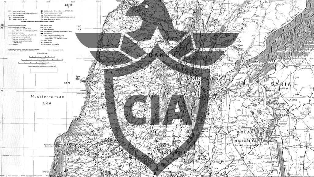
‘Israel’s’ ‘Security Zone’, a buffer that runs from the coast to the Golan Heights and extends 5 to 20 kilometers into Lebanon, is the subject of this research paper. The entire explanation circulates around it.
Excerpt from the report as shown as the following:
The ‘security zone’ covers about 800 square kilometers, nearly half of Lebanon south of Sidon. Long neglected by Lebanon's central government, the south's poor agrarian economy has been further disrupted by the 1982 invasion and its aftermath. About 1 10,000 of the approximately 250,000 residents in the south live in the ‘security zone’, according to ‘Israeli’ press reporting. Nearly half of the 1 10,000 are Shiite, although there are areas of although there are areas of Christian, Sunni, and Druze concentrations, according to the CIA paper.
The report, which states that Palestinians were the main target of the ‘Israeli’ 1978 and 1982 invasions of Lebanon, explains how the ‘Israeli’ occupation forces began construction activities within its much-needed ‘security zone’ almost immediately following its 1978 invasion.
Since 1982, the predominant changes have involved improving and building new access and border patrol roads, adding and repositioning fixed ‘defensive’ and observation positions, and building new military support facilities. At the southern edge of the security zone, along the 1949 Armistice Demarcation Line, the ‘Israelis’ are building up their border security strip, which includes concertina wire, a security fence, a dragged strip—bare earth groomed to reveal the tracks of intruders—and a patrol road. In several places the border security strip crosses into Lebanese territory to take advantage of favorable terrain or to create a buffer near ‘Israeli’ settlements.
“Tel Aviv is aware that the ‘Israeli’ occupation further radicalizes this religiously diverse area [Lebanon] and contributes to its chronic instability,” the report admits.
If ‘Israel’ eventually makes a "final" withdrawal, the ‘defensive’ role of the border security strip will become more important, the report adds. “Although the threat of retaliation for any cross-border ‘attacks’ and possible assurances from Lebanese leaders and Syria would be important considerations in ‘Israel's’ post withdrawal ‘defensive’ policy.”
The present ‘Israeli’-created ‘security zone’ in southern Lebanon owes its existence to ‘Israel's’ desire for a secure northern border and has evolved from the security arrangements ‘Israel’ established following its 1978 invasion of Lebanon.
Today, an assortment of groups willing to engage ‘Israel’ in limited military encounters operate in and through southern Lebanon…To reach the ‘Israeli’ border, or to maximize their prospects of hitting ‘Israel’ with rockets, these groups must infiltrate through the United Nations Interim Force in Lebanon [UNIFIL] area of operation—not a difficult task in the ‘Israeli’ view—and the ‘Israeli’ security zone.
This research paper analyzes the transportation network, water resources, and population makeup in the security zone and the changes that have occurred in the local economy and are occurring in the ‘Israeli’ infrastructure within the security zone and along the border.


