Secret “Israeli” Military Bases’ Locations Reportedly Revealed in Major Map Mishap
By Staff, Agencies
A detailed map of COVID-19 testing centers in the “Israeli” entity, published by the National Emergency Portal, has apparently revealed a bit more than it was supposed to.
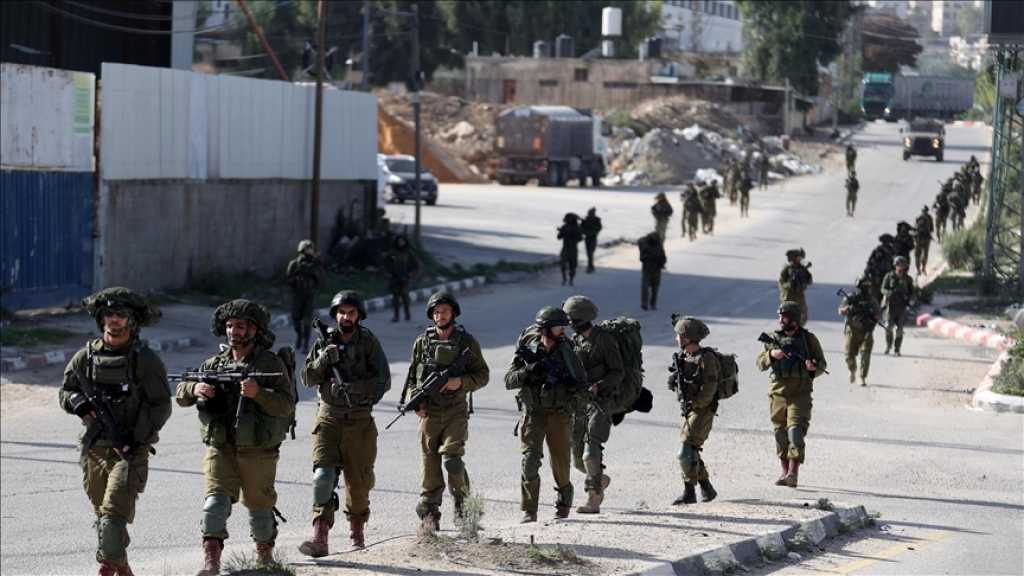
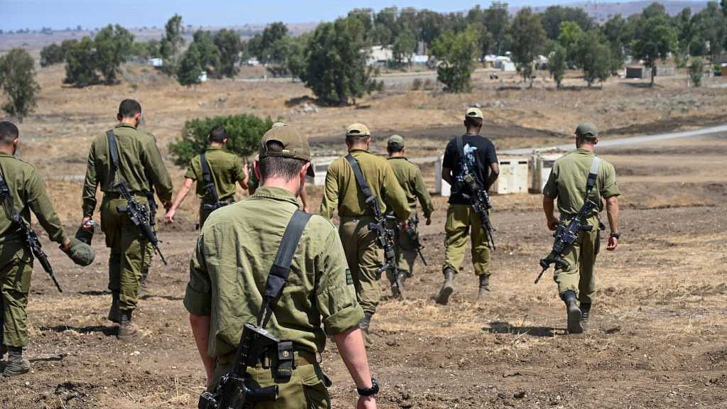
According to the newspaper Haaretz, the map also included information about “Israeli” military bases, including those that Tel Aviv normally does not advertise [let alone disclose their location]. The map reportedly showed where “Israel” Air Force and Military Intelligence bases are located.
The map was purportedly so detailed that it not only showed the locations and the names of the military facilities, but even revealed their size and their exact boundaries. Such information could potentially be used by Tel Aviv's adversaries, should they choose to attack the country or a specific military compound.
The release of the information about military bases was carried out by mistake and the classified data has since been removed from the online map, an “Israeli” Occupation Forces [IOF] spokesperson told Haaretz in response to a request. According to the spokesperson, the "marking" of the IOF facilities on the map was not done by the military, "but copied from the existing map on the [civilian] website".
It is unclear, however, how many people could have seen the map before it was fixed, and if any screengrabs of the classified information had been made.
Comments
- Related News
“Israel” Pulls Golani out of Gaza Quagmire
4 months ago
Knesset Member: ‘Israel’ Facing Economic Disaster
4 months ago